

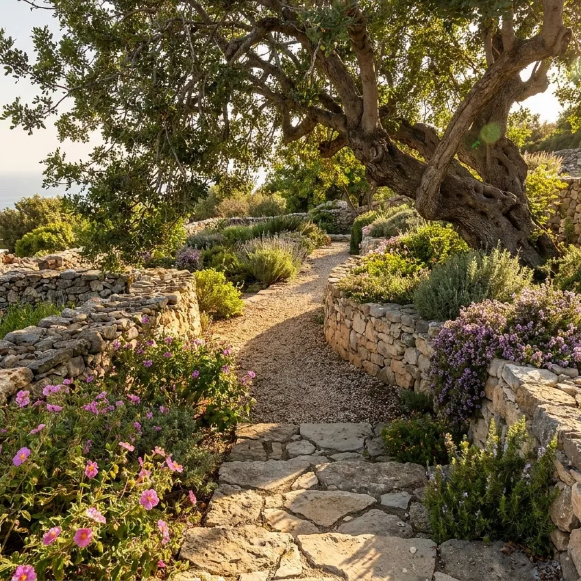
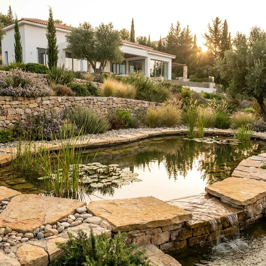
Surveying and earthworks are the first steps on any plot in Cyprus, and their accuracy affects everything built afterwards: paths, retaining walls, a pool or a house. This page collects photos of completed work in which local specialists carried out topographic surveys, set out the design on site, dug excavations and placed fill. Ask what equipment was used and how the levels were checked after excavation.
What to look at in these projects
- Topography and setting out. What baseline data was collected and how the design was transferred to the ground.
- Cut and fill. How levels were formed, the soil compacted and surplus material removed.
- Machinery and services. Which equipment worked on site and how underground utilities were taken into account.
- Checking finished levels. How the final levels were verified before the next stage.
Facing a similar stage? Describe your plot to the surveyor, or send a request through our surveying and earthworks service. Confirm the contractor’s qualifications and the exact plot boundaries in advance. Land registration and foundation work are separate stages and aren’t automatically included in this service.